The New Road up Zellah Hill
Introduction
The photograph on this page of The New Road up Zellah Hill by Tony Atkin as part of the Geograph project.
The Geograph project started in 2005 with the aim of publishing, organising and preserving representative images for every square kilometre of Great Britain, Ireland and the Isle of Man.

There are currently over 7.5m images from over 14,400 individuals and you can help contribute to the project by visiting https://www.geograph.org.uk
The New Road up Zellah Hill
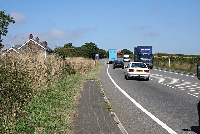
Image: © Tony Atkin Taken: 3 Aug 2006
Just a couple of yards away from Image is all the noise and fumes of a major road, the A30.
Images are licensed for reuse under creativecommons.org/licenses/by-sa/2.0
Image Location
Latitude
50.330017
Longitude
-5.071418