Footpath to Sandsling Station (2)
Introduction
The photograph on this page of Footpath to Sandsling Station (2) by David Anstiss as part of the Geograph project.
The Geograph project started in 2005 with the aim of publishing, organising and preserving representative images for every square kilometre of Great Britain, Ireland and the Isle of Man.

There are currently over 7.5m images from over 14,400 individuals and you can help contribute to the project by visiting https://www.geograph.org.uk
Footpath to Sandsling Station (2)
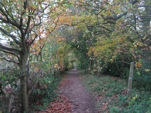
Image: © David Anstiss Taken: 13 Nov 2010
A footpath leads from Rectory Lane beside the dismantled Hythe and Sandgate railway (hidden on the right, in the trees) to Sandling Station on Sandling Road
Images are licensed for reuse under creativecommons.org/licenses/by-sa/2.0
Image Location
Latitude
51.086011
Longitude
1.074095