Alltami
Introduction
The photograph on this page of Alltami by Eirian Evans as part of the Geograph project.
The Geograph project started in 2005 with the aim of publishing, organising and preserving representative images for every square kilometre of Great Britain, Ireland and the Isle of Man.

There are currently over 7.5m images from over 14,400 individuals and you can help contribute to the project by visiting https://www.geograph.org.uk
Alltami
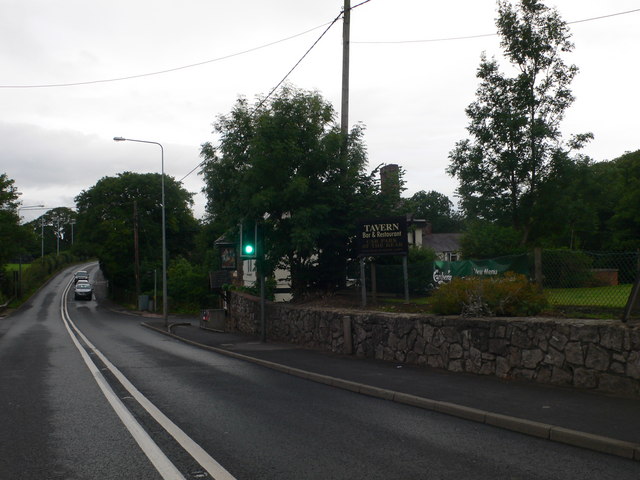
Image: © Eirian Evans Taken: 7 Aug 2010
Approaching the crossroads at the bottom of a steep hill at Alltami. This is the A494 Queensferry to Mold Road, and the road which crosses it goes left to Buckley and right to Northop. There is a pub, The Tavern, on the crossroads.
Images are licensed for reuse under creativecommons.org/licenses/by-sa/2.0
Image Location
Latitude
53.182156
Longitude
-3.098445