A house called "The Geans"
Introduction
The photograph on this page of A house called "The Geans" by Jennifer Petrie as part of the Geograph project.
The Geograph project started in 2005 with the aim of publishing, organising and preserving representative images for every square kilometre of Great Britain, Ireland and the Isle of Man.

There are currently over 7.5m images from over 14,400 individuals and you can help contribute to the project by visiting https://www.geograph.org.uk
A house called "The Geans"
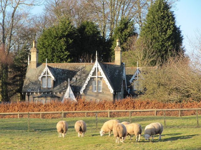
Image: © Jennifer Petrie Taken: 30 Jan 2010
This house stands among cherry trees (geans) hence its name. It stands opposite the old Duns High School, on the track into Duns Castle Estate.
Images are licensed for reuse under creativecommons.org/licenses/by-sa/2.0
Image Location
Latitude
55.774396
Longitude
-2.35896