Mains of Croy
Introduction
The photograph on this page of Mains of Croy by John Allan as part of the Geograph project.
The Geograph project started in 2005 with the aim of publishing, organising and preserving representative images for every square kilometre of Great Britain, Ireland and the Isle of Man.

There are currently over 7.5m images from over 14,400 individuals and you can help contribute to the project by visiting https://www.geograph.org.uk
Mains of Croy
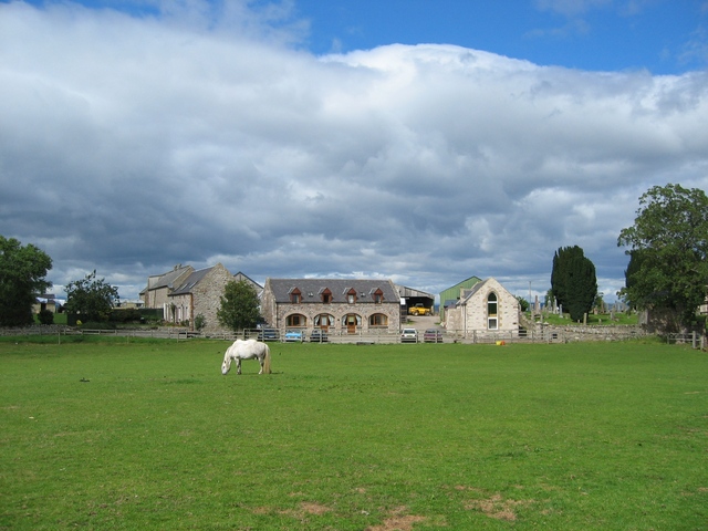
Image: © John Allan Taken: 7 Aug 2006
This farm at Croy is still active, but several of its outbuildings have been converted for residential use.
Images are licensed for reuse under creativecommons.org/licenses/by-sa/2.0
Image Location
Latitude
57.521425
Longitude
-4.01026