Howard Street
Introduction
The photograph on this page of Howard Street by Thomas Nugent as part of the Geograph project.
The Geograph project started in 2005 with the aim of publishing, organising and preserving representative images for every square kilometre of Great Britain, Ireland and the Isle of Man.

There are currently over 7.5m images from over 14,400 individuals and you can help contribute to the project by visiting https://www.geograph.org.uk
Howard Street
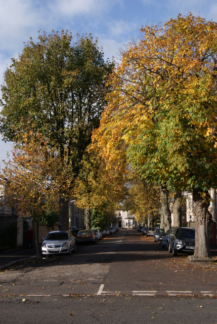
Image: © Thomas Nugent Taken: 27 Oct 2010
Mature trees on both sides of this street which is off Dundonald Road.
Images are licensed for reuse under creativecommons.org/licenses/by-sa/2.0
Image Location
Latitude
55.606627
Longitude
-4.501622