River Taw from Umberleigh road bridge
Introduction
The photograph on this page of River Taw from Umberleigh road bridge by Barrie Cann as part of the Geograph project.
The Geograph project started in 2005 with the aim of publishing, organising and preserving representative images for every square kilometre of Great Britain, Ireland and the Isle of Man.

There are currently over 7.5m images from over 14,400 individuals and you can help contribute to the project by visiting https://www.geograph.org.uk
River Taw from Umberleigh road bridge
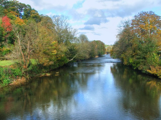
Image: © Barrie Cann Taken: 30 Oct 2010
Looking downstream towards Barnstaple, with the Tarka Line railway bridge in the distance. The autumn colours along the valley are stunning this year
Images are licensed for reuse under creativecommons.org/licenses/by-sa/2.0
Image Location
Latitude
50.992552
Longitude
-3.986271