St Ann's Street
Introduction
The photograph on this page of St Ann's Street by Andrew Curtis as part of the Geograph project.
The Geograph project started in 2005 with the aim of publishing, organising and preserving representative images for every square kilometre of Great Britain, Ireland and the Isle of Man.

There are currently over 7.5m images from over 14,400 individuals and you can help contribute to the project by visiting https://www.geograph.org.uk
St Ann's Street
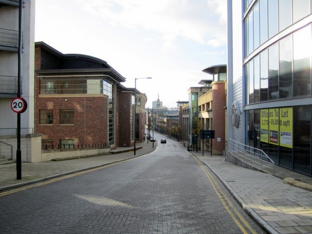
Image: © Andrew Curtis Taken: 11 Nov 2010
Becomes Sandgate at the bottom of the hill Image A service lane to the commercial properties along the Quayside: St Ann's Quay, Rotterdam House, St Ann's Wharf and Quayside House.
Images are licensed for reuse under creativecommons.org/licenses/by-sa/2.0
Image Location
Latitude
54.971483
Longitude
-1.59788