Bacup: Allotments at the north end of Bankfield Street, Stacksteads
Introduction
The photograph on this page of Bacup: Allotments at the north end of Bankfield Street, Stacksteads by Dr Neil Clifton as part of the Geograph project.
The Geograph project started in 2005 with the aim of publishing, organising and preserving representative images for every square kilometre of Great Britain, Ireland and the Isle of Man.

There are currently over 7.5m images from over 14,400 individuals and you can help contribute to the project by visiting https://www.geograph.org.uk
Bacup: Allotments at the north end of Bankfield Street, Stacksteads
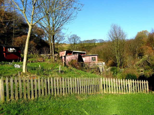
Image: © Dr Neil Clifton Taken: 10 Nov 2010
Looking north. Some of the sheds are used for keeping birds, etc.
Images are licensed for reuse under creativecommons.org/licenses/by-sa/2.0
Image Location
Latitude
53.69451
Longitude
-2.220315