Junction of the lanes leading to Ickleford Common
Introduction
The photograph on this page of Junction of the lanes leading to Ickleford Common by Robert Matin as part of the Geograph project.
The Geograph project started in 2005 with the aim of publishing, organising and preserving representative images for every square kilometre of Great Britain, Ireland and the Isle of Man.

There are currently over 7.5m images from over 14,400 individuals and you can help contribute to the project by visiting https://www.geograph.org.uk
Junction of the lanes leading to Ickleford Common
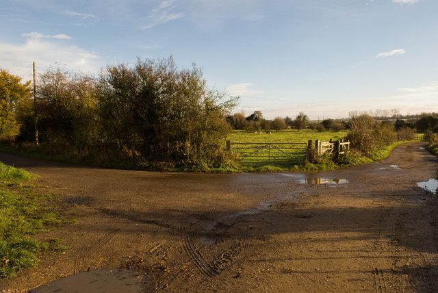
Image: © Robert Matin Taken: 14 Nov 2010
The gate towards the middle of the image leads into Ickleford Common. The track to the left goes to a private premises and to the right goes into Ickleford Village. The track behind me goes to the Bedford Road eventually. You are not supposed to drive down it as it is gated at the far end, the Google Street View team have ventured down it though!
Images are licensed for reuse under creativecommons.org/licenses/by-sa/2.0
Image Location
Latitude
51.981491
Longitude
-0.276559