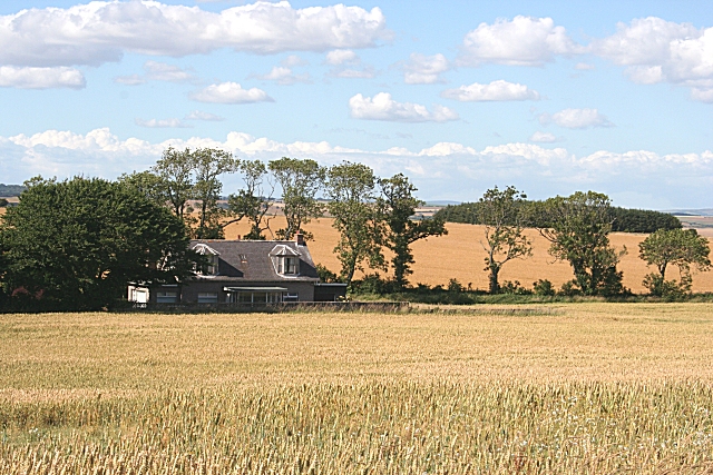
Lady Mary Ann's Butts
Introduction
The photograph on this page of Lady Mary Ann's Butts by Anne Burgess as part of the Geograph project.
The Geograph project started in 2005 with the aim of publishing, organising and preserving representative images for every square kilometre of Great Britain, Ireland and the Isle of Man.
There are currently over 7.5m images from over 14,400 individuals and you can help contribute to the project by visiting https://www.geograph.org.uk

Image: © Anne Burgess Taken: 30 Jul 2006
This house is named on maps as recently as 1990 as Lady Mary Ann's Butts, but according to the most recent maps it has been renamed Cherrylynne. My thanks to Jean Jubb, whose ancestors lived here in the 18th and 19th centuries, for telling me that it was named after a daughter of one of the Earls of Northesk, though it may previously have been known as Magdalin's Butts after the wife of an earlier Earl. What a pity that, by renaming it, an intriguing place name and a little of the house's history has been lost.

