Doorway of St Mary the Virgin, Little Chart
Introduction
The photograph on this page of Doorway of St Mary the Virgin, Little Chart by PAUL FARMER as part of the Geograph project.
The Geograph project started in 2005 with the aim of publishing, organising and preserving representative images for every square kilometre of Great Britain, Ireland and the Isle of Man.

There are currently over 7.5m images from over 14,400 individuals and you can help contribute to the project by visiting https://www.geograph.org.uk
Doorway of St Mary the Virgin, Little Chart
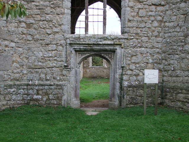
Image: © PAUL FARMER Taken: 13 Nov 2010
The church was destroyed on 16.8.44 by a flying bomb.
Images are licensed for reuse under creativecommons.org/licenses/by-sa/2.0
Image Location


Leaflet Map data © OpenStreetMap
Latitude
51.186607
Longitude
0.766634