Looking towards Watnall from Kimberley cemetery
Introduction
The photograph on this page of Looking towards Watnall from Kimberley cemetery by Lynne Kirton as part of the Geograph project.
The Geograph project started in 2005 with the aim of publishing, organising and preserving representative images for every square kilometre of Great Britain, Ireland and the Isle of Man.

There are currently over 7.5m images from over 14,400 individuals and you can help contribute to the project by visiting https://www.geograph.org.uk
Looking towards Watnall from Kimberley cemetery
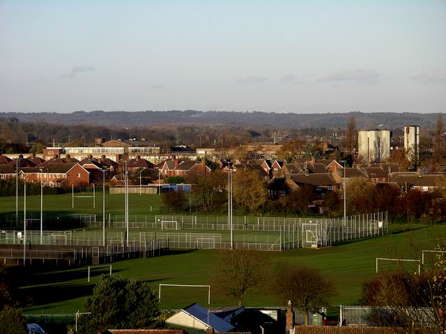
Image: © Lynne Kirton Taken: 13 Nov 2010
This telephoto shot looks over the playing fields of Kimberley School (comprehensive) to the bakery in Watnall, the long building with, on the right, its silos. Further beyond, just visible above the horizon, can be seen the five recently erected (September 2010) turbines of the Lindhurst wind farm, between Mansfield and Blidworth, about 10 miles away as the crow flies. See Image
Images are licensed for reuse under creativecommons.org/licenses/by-sa/2.0
Image Location
Latitude
52.998786
Longitude
-1.249889