Track at Belton Ashes
Introduction
The photograph on this page of Track at Belton Ashes by Richard Croft as part of the Geograph project.
The Geograph project started in 2005 with the aim of publishing, organising and preserving representative images for every square kilometre of Great Britain, Ireland and the Isle of Man.

There are currently over 7.5m images from over 14,400 individuals and you can help contribute to the project by visiting https://www.geograph.org.uk
Track at Belton Ashes
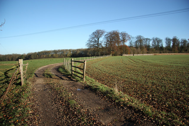
Image: © Richard Croft Taken: 13 Nov 2010
Track at Belton Ashes that skirts Punchbowl and joins Beggar's Lane
Images are licensed for reuse under creativecommons.org/licenses/by-sa/2.0
Image Location
Latitude
52.948153
Longitude
-0.585778