Larne Lough (2)
Introduction
The photograph on this page of Larne Lough (2) by Albert Bridge as part of the Geograph project.
The Geograph project started in 2005 with the aim of publishing, organising and preserving representative images for every square kilometre of Great Britain, Ireland and the Isle of Man.

There are currently over 7.5m images from over 14,400 individuals and you can help contribute to the project by visiting https://www.geograph.org.uk
Larne Lough (2)
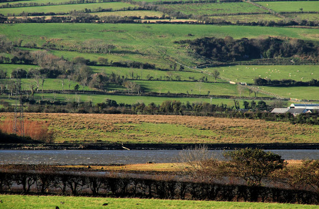
Image: © Albert Bridge Taken: 12 Nov 2010
The part of Larne Lough in this square has no public access. The view is from the Low Road, Islandmagee Image towards Oldchurch Bay. Intertidal mudflats with the higher ground on the west of the Carrickfergus – Larne road in the background.
Images are licensed for reuse under creativecommons.org/licenses/by-sa/2.0
Image Location
Latitude
54.783006
Longitude
-5.722697