School Buildings, Gipsy Road, West Norwood
Introduction
The photograph on this page of School Buildings, Gipsy Road, West Norwood by Robin Drayton as part of the Geograph project.
The Geograph project started in 2005 with the aim of publishing, organising and preserving representative images for every square kilometre of Great Britain, Ireland and the Isle of Man.

There are currently over 7.5m images from over 14,400 individuals and you can help contribute to the project by visiting https://www.geograph.org.uk
School Buildings, Gipsy Road, West Norwood
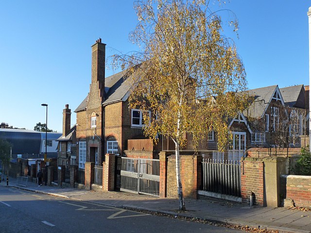
Image: © Robin Drayton Taken: 10 Nov 2010
In the 1950s this was Gipsy Road infants school. Subsequently until 2002 it was Norwood Park primary school.
Images are licensed for reuse under creativecommons.org/licenses/by-sa/2.0
Image Location
Latitude
51.428304
Longitude
-0.09678