Over the field to Linsteads Farm
Introduction
The photograph on this page of Over the field to Linsteads Farm by Robin Webster as part of the Geograph project.
The Geograph project started in 2005 with the aim of publishing, organising and preserving representative images for every square kilometre of Great Britain, Ireland and the Isle of Man.

There are currently over 7.5m images from over 14,400 individuals and you can help contribute to the project by visiting https://www.geograph.org.uk
Over the field to Linsteads Farm
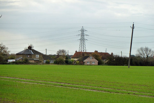
Image: © Robin Webster Taken: 13 Nov 2010
The farmhouse is the yellow house behind the boarded building, which seems to be a deluxe sort of garage. If the National Grid have got their pylon vertical, then the local distribution company have got a fair lean on their post - at least 6 degrees. What is tolerable?
Images are licensed for reuse under creativecommons.org/licenses/by-sa/2.0
Image Location


Leaflet Map data © OpenStreetMap
Latitude
51.517418
Longitude
0.3898