Dwellings, Lower Ashton
Introduction
The photograph on this page of Dwellings, Lower Ashton by Robin Stott as part of the Geograph project.
The Geograph project started in 2005 with the aim of publishing, organising and preserving representative images for every square kilometre of Great Britain, Ireland and the Isle of Man.

There are currently over 7.5m images from over 14,400 individuals and you can help contribute to the project by visiting https://www.geograph.org.uk
Dwellings, Lower Ashton
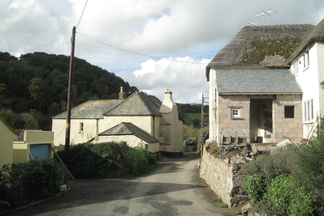
Image: © Robin Stott Taken: 30 Oct 2010
Blatchford, centre; Jerston Cottage being extended, right. Hill Copse beyond drops steeply to the valley of the river Teign. The lane leads eventually to Doddiscombsleigh Image
Images are licensed for reuse under creativecommons.org/licenses/by-sa/2.0
Image Location
Latitude
50.645963
Longitude
-3.637798