Parkland near Longslow
Introduction
The photograph on this page of Parkland near Longslow by Stephen Richards as part of the Geograph project.
The Geograph project started in 2005 with the aim of publishing, organising and preserving representative images for every square kilometre of Great Britain, Ireland and the Isle of Man.

There are currently over 7.5m images from over 14,400 individuals and you can help contribute to the project by visiting https://www.geograph.org.uk
Parkland near Longslow
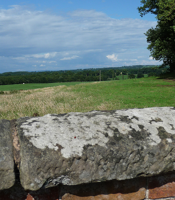
Image: © Stephen Richards Taken: Unknown
Looking across farmland towards the Big Wood, part of Shavington's landscaped grounds. The house was pulled down in 1959, but an epic seven-mile brick wall, dating from the 1850s, survives.
Images are licensed for reuse under creativecommons.org/licenses/by-sa/2.0
Image Location


Leaflet Map data © OpenStreetMap
Latitude
52.933112
Longitude
-2.544474