Teign Valley golf course
Introduction
The photograph on this page of Teign Valley golf course by Robin Stott as part of the Geograph project.
The Geograph project started in 2005 with the aim of publishing, organising and preserving representative images for every square kilometre of Great Britain, Ireland and the Isle of Man.

There are currently over 7.5m images from over 14,400 individuals and you can help contribute to the project by visiting https://www.geograph.org.uk
Teign Valley golf course
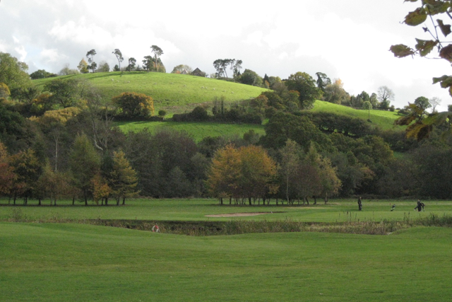
Image: © Robin Stott Taken: 30 Oct 2010
The part of the course on the floodplain of the Teign, which runs among trees at the foot of the hill. The roofs of 'Rydon' appear on the skyline.
Images are licensed for reuse under creativecommons.org/licenses/by-sa/2.0
Image Location
Latitude
50.636055
Longitude
-3.638867