Hurstlands Drive
Introduction
The photograph on this page of Hurstlands Drive by Ian Capper as part of the Geograph project.
The Geograph project started in 2005 with the aim of publishing, organising and preserving representative images for every square kilometre of Great Britain, Ireland and the Isle of Man.

There are currently over 7.5m images from over 14,400 individuals and you can help contribute to the project by visiting https://www.geograph.org.uk
Hurstlands Drive
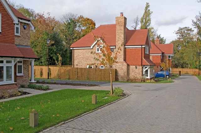
Image: © Ian Capper Taken: 3 Nov 2010
Backgarden development off Court Road. See Image for a photo of the development in early 2009, some time after work had stopped, not restarting for over a year.
Images are licensed for reuse under creativecommons.org/licenses/by-sa/2.0
Image Location
Latitude
51.367553
Longitude
0.110868