Pridhamsleigh
Introduction
The photograph on this page of Pridhamsleigh by Derek Harper as part of the Geograph project.
The Geograph project started in 2005 with the aim of publishing, organising and preserving representative images for every square kilometre of Great Britain, Ireland and the Isle of Man.

There are currently over 7.5m images from over 14,400 individuals and you can help contribute to the project by visiting https://www.geograph.org.uk
Pridhamsleigh
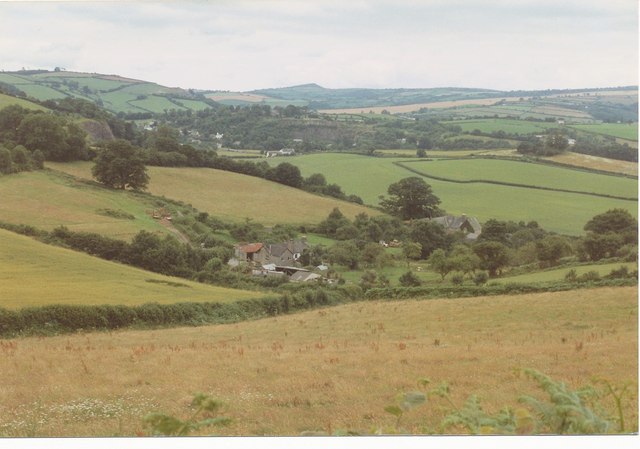
Image: © Derek Harper Taken: Unknown
Looking over the hamlet from Staverton Byway 30. Several new farm buildings have appeared in the twenty years since this was taken. In the background the Dart valley, with quarries on either side, approaches Buckfastleigh. On the horizon is the sharp point of Brent Hill.
Images are licensed for reuse under creativecommons.org/licenses/by-sa/2.0
Image Location
Latitude
50.495728
Longitude
-3.763722