River Avon and Avonmouth Bridge
Introduction
The photograph on this page of River Avon and Avonmouth Bridge by Stephen McKay as part of the Geograph project.
The Geograph project started in 2005 with the aim of publishing, organising and preserving representative images for every square kilometre of Great Britain, Ireland and the Isle of Man.

There are currently over 7.5m images from over 14,400 individuals and you can help contribute to the project by visiting https://www.geograph.org.uk
River Avon and Avonmouth Bridge
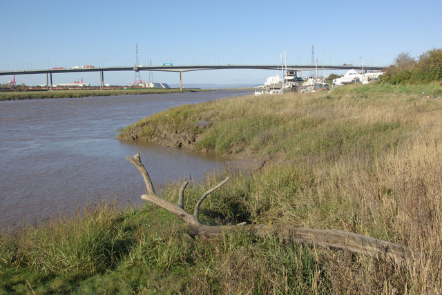
Image: © Stephen McKay Taken: 10 Nov 2010
This view of the lower reaches of the River Avon was changed forever in 1974 when the Avonmouth Bridge, carrying the M5 between Gloucestershire and Somerset was opened.
Images are licensed for reuse under creativecommons.org/licenses/by-sa/2.0
Image Location
Latitude
51.485705
Longitude
-2.687202