Harvested wheat field beside Defford Airfield
Introduction
The photograph on this page of Harvested wheat field beside Defford Airfield by Philip Halling as part of the Geograph project.
The Geograph project started in 2005 with the aim of publishing, organising and preserving representative images for every square kilometre of Great Britain, Ireland and the Isle of Man.

There are currently over 7.5m images from over 14,400 individuals and you can help contribute to the project by visiting https://www.geograph.org.uk
Harvested wheat field beside Defford Airfield
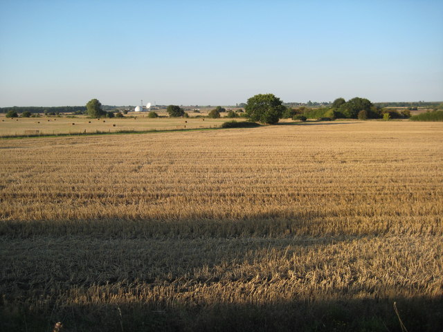
Image: © Philip Halling Taken: 2 Sep 2010
This field to the north of the A4104 has been harvested and the straw bales collected. The satellite station on the former Defford airfield can be seen in the background.
Images are licensed for reuse under creativecommons.org/licenses/by-sa/2.0
Image Location
Latitude
52.083816
Longitude
-2.151725