Junction of Gipsy Patch Lane and Station Road, Little Stoke
Introduction
The photograph on this page of Junction of Gipsy Patch Lane and Station Road, Little Stoke by Jaggery as part of the Geograph project.
The Geograph project started in 2005 with the aim of publishing, organising and preserving representative images for every square kilometre of Great Britain, Ireland and the Isle of Man.

There are currently over 7.5m images from over 14,400 individuals and you can help contribute to the project by visiting https://www.geograph.org.uk
Junction of Gipsy Patch Lane and Station Road, Little Stoke
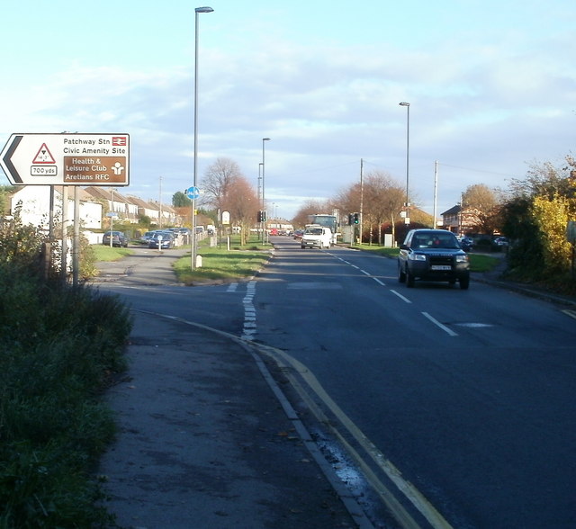
Image: © Jaggery Taken: 6 Nov 2010
Viewed from the eastern side of the railway bridge. http://www.geograph.org.uk/photo/2156291 Ahead is Gipsy Patch Lane. Turn left into Station Road http://www.geograph.org.uk/photo/2156323 for Patchway railway station, the Civic Amenity Site, a health & leisure club, and Aretians Rugby Football Club.
Images are licensed for reuse under creativecommons.org/licenses/by-sa/2.0
Image Location


Leaflet Map data © OpenStreetMap
Latitude
51.522075
Longitude
-2.560624