River Bulbourne
Introduction
The photograph on this page of River Bulbourne by Graham Horn as part of the Geograph project.
The Geograph project started in 2005 with the aim of publishing, organising and preserving representative images for every square kilometre of Great Britain, Ireland and the Isle of Man.

There are currently over 7.5m images from over 14,400 individuals and you can help contribute to the project by visiting https://www.geograph.org.uk
River Bulbourne
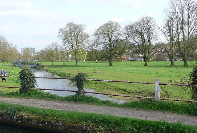
Image: © Graham Horn Taken: 10 Apr 2010
The canal has been following the course of the River Bulbourne for many miles. It makes sense as the river has supplied the canal with water at various places. Here the river goes underneath the canal, and not much further on joins the River Gade. This is open parkland on the south side of Hemel Hempstead.
Images are licensed for reuse under creativecommons.org/licenses/by-sa/2.0
Image Location
Latitude
51.744111
Longitude
-0.48579