Looking down on Denbigh from Castle Lane
Introduction
The photograph on this page of Looking down on Denbigh from Castle Lane by Eirian Evans as part of the Geograph project.
The Geograph project started in 2005 with the aim of publishing, organising and preserving representative images for every square kilometre of Great Britain, Ireland and the Isle of Man.

There are currently over 7.5m images from over 14,400 individuals and you can help contribute to the project by visiting https://www.geograph.org.uk
Looking down on Denbigh from Castle Lane
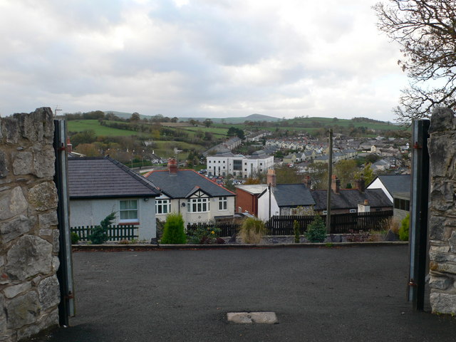
Image: © Eirian Evans Taken: 11 Nov 2010
The western side of the town, mostly residential, but the white building at the centre is Caledfryn, part of the County headquarters.
Images are licensed for reuse under creativecommons.org/licenses/by-sa/2.0
Image Location
Latitude
53.180794
Longitude
-3.42253