Bourne End middle lock 57
Introduction
The photograph on this page of Bourne End middle lock 57 by Graham Horn as part of the Geograph project.
The Geograph project started in 2005 with the aim of publishing, organising and preserving representative images for every square kilometre of Great Britain, Ireland and the Isle of Man.

There are currently over 7.5m images from over 14,400 individuals and you can help contribute to the project by visiting https://www.geograph.org.uk
Bourne End middle lock 57
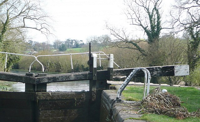
Image: © Graham Horn Taken: 10 Apr 2010
This lock conveniently fits into the top right hand corner of this square, giving something interesting to photograph. A previous user had cleared a lot of weed from around the paddle holes, a common problem. Unfortunately, by being left adjacent to the lock like that, it will just go straight back in courtesy of the boot of the next yoof.
Images are licensed for reuse under creativecommons.org/licenses/by-sa/2.0
Image Location
Latitude
51.752065
Longitude
-0.538837