Patchway Library
Introduction
The photograph on this page of Patchway Library by Jaggery as part of the Geograph project.
The Geograph project started in 2005 with the aim of publishing, organising and preserving representative images for every square kilometre of Great Britain, Ireland and the Isle of Man.

There are currently over 7.5m images from over 14,400 individuals and you can help contribute to the project by visiting https://www.geograph.org.uk
Patchway Library
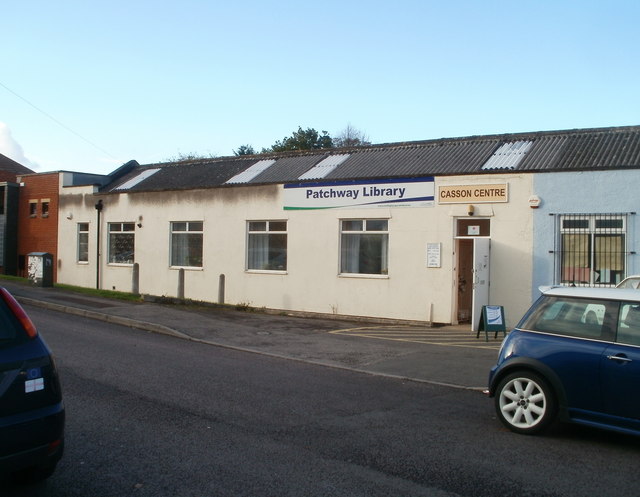
Image: © Jaggery Taken: 6 Nov 2010
Part of South Gloucestershire Council library service, located in the Casson Centre on Rodway Road, opposite the Royal British Legion Club. http://www.geograph.org.uk/photo/2155700 The library was previously located nearby, on the corner of Durban Road and Rodway Road, opposite the fire station. http://www.geograph.org.uk/photo/2155614
Images are licensed for reuse under creativecommons.org/licenses/by-sa/2.0
Image Location
Latitude
51.530982
Longitude
-2.578033