Ploughed field above Llansteffan
Introduction
The photograph on this page of Ploughed field above Llansteffan by Colin Park as part of the Geograph project.
The Geograph project started in 2005 with the aim of publishing, organising and preserving representative images for every square kilometre of Great Britain, Ireland and the Isle of Man.

There are currently over 7.5m images from over 14,400 individuals and you can help contribute to the project by visiting https://www.geograph.org.uk
Ploughed field above Llansteffan
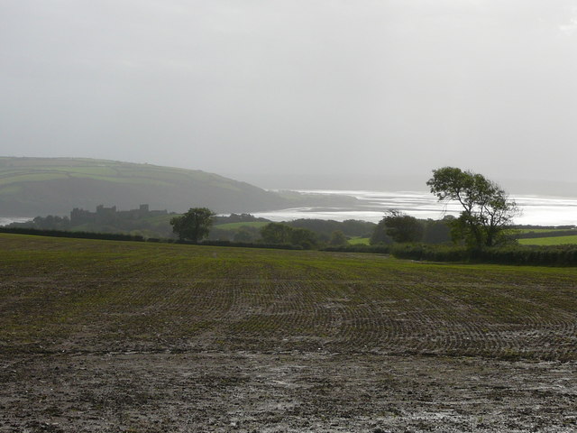
Image: © Colin Park Taken: 5 Oct 2010
The ruins in the distance is Llansteffan Castle.
Images are licensed for reuse under creativecommons.org/licenses/by-sa/2.0
Image Location


Leaflet Map data © OpenStreetMap
Latitude
51.77383
Longitude
-4.401491