Brattle House, King Street near Brookland
Introduction
The photograph on this page of Brattle House, King Street near Brookland by Simon Carey as part of the Geograph project.
The Geograph project started in 2005 with the aim of publishing, organising and preserving representative images for every square kilometre of Great Britain, Ireland and the Isle of Man.

There are currently over 7.5m images from over 14,400 individuals and you can help contribute to the project by visiting https://www.geograph.org.uk
Brattle House, King Street near Brookland
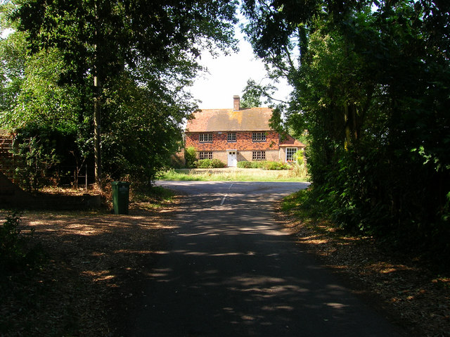
Image: © Simon Carey Taken: 5 Aug 2006
Grade II listed building north of Brookland. Taken from Straight Lane before the junction with King Street.
Images are licensed for reuse under creativecommons.org/licenses/by-sa/2.0
Image Location
Latitude
51.001873
Longitude
0.82633