Castlefield Canal Basin, Manchester
Introduction
The photograph on this page of Castlefield Canal Basin, Manchester by Martin Clark as part of the Geograph project.
The Geograph project started in 2005 with the aim of publishing, organising and preserving representative images for every square kilometre of Great Britain, Ireland and the Isle of Man.

There are currently over 7.5m images from over 14,400 individuals and you can help contribute to the project by visiting https://www.geograph.org.uk
Castlefield Canal Basin, Manchester
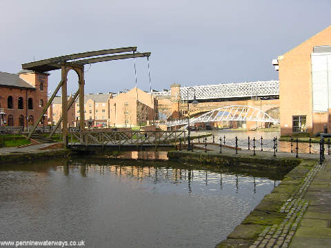
Image: © Martin Clark Taken: 1 Dec 2002
Castlefield Basin was the terminus of the Bridgewater Canal and the wharves were at one time used for unloading coal and timber. It is now a fashionable venue, with pubs and canalside apartments alongside the canal heritage.
Images are licensed for reuse under creativecommons.org/licenses/by-sa/2.0
Image Location


Leaflet Map data © OpenStreetMap
Latitude
53.473596
Longitude
-2.25623