Route of General Wade's Military Road
Introduction
The photograph on this page of Route of General Wade's Military Road by Russel Wills as part of the Geograph project.
The Geograph project started in 2005 with the aim of publishing, organising and preserving representative images for every square kilometre of Great Britain, Ireland and the Isle of Man.

There are currently over 7.5m images from over 14,400 individuals and you can help contribute to the project by visiting https://www.geograph.org.uk
Route of General Wade's Military Road
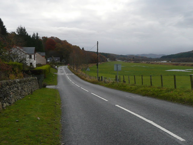
Image: © Russel Wills Taken: 9 Nov 2010
Heading south east towards Dunkeld. With 'new' A9, railway and River Tummel on the right.
Images are licensed for reuse under creativecommons.org/licenses/by-sa/2.0
Image Location
Latitude
56.684972
Longitude
-3.696887