Hazelbury Bryan
Introduction
The photograph on this page of Hazelbury Bryan by Nigel Mykura as part of the Geograph project.
The Geograph project started in 2005 with the aim of publishing, organising and preserving representative images for every square kilometre of Great Britain, Ireland and the Isle of Man.

There are currently over 7.5m images from over 14,400 individuals and you can help contribute to the project by visiting https://www.geograph.org.uk
Hazelbury Bryan
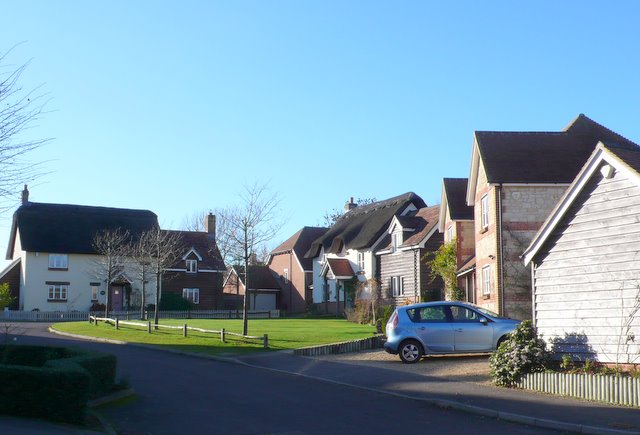
Image: © Nigel Mykura Taken: 10 Nov 2010
This small development of new houses has been built just off the main street that runs through Wonston, one of the five hamlets that make up this scattered village.
Images are licensed for reuse under creativecommons.org/licenses/by-sa/2.0
Image Location
Latitude
50.873528
Longitude
-2.36776