Gaer Park Club and Institute, Newport
Introduction
The photograph on this page of Gaer Park Club and Institute, Newport by Jaggery as part of the Geograph project.
The Geograph project started in 2005 with the aim of publishing, organising and preserving representative images for every square kilometre of Great Britain, Ireland and the Isle of Man.

There are currently over 7.5m images from over 14,400 individuals and you can help contribute to the project by visiting https://www.geograph.org.uk
Gaer Park Club and Institute, Newport
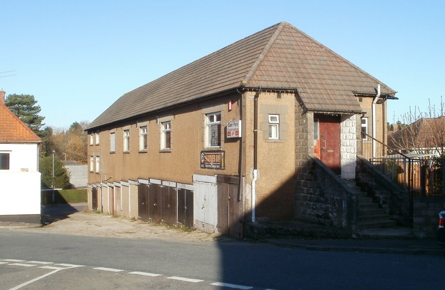
Image: © Jaggery Taken: 10 Nov 2010
Viewed from the corner of Gaer Park Road. The club is located in a long, narrow building (about 40 metres by 7 metres) extending from Gaer Park Drive to Highfield Road.
Images are licensed for reuse under creativecommons.org/licenses/by-sa/2.0
Image Location
Latitude
51.579209
Longitude
-3.021692