West Carr Plantation
Introduction
The photograph on this page of West Carr Plantation by DS Pugh as part of the Geograph project.
The Geograph project started in 2005 with the aim of publishing, organising and preserving representative images for every square kilometre of Great Britain, Ireland and the Isle of Man.

There are currently over 7.5m images from over 14,400 individuals and you can help contribute to the project by visiting https://www.geograph.org.uk
West Carr Plantation
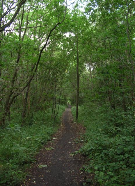
Image: © DS Pugh Taken: 5 Aug 2006
How quickly the trees return after the removal of the railway line. This is part of the Haswell to Stockton cycle route.
Images are licensed for reuse under creativecommons.org/licenses/by-sa/2.0
Image Location
Latitude
54.641912
Longitude
-1.377083