Farmland by Stourbridge Road north-east of Wombourne, Staffordshire
Introduction
The photograph on this page of Farmland by Stourbridge Road north-east of Wombourne, Staffordshire by Roger D Kidd as part of the Geograph project.
The Geograph project started in 2005 with the aim of publishing, organising and preserving representative images for every square kilometre of Great Britain, Ireland and the Isle of Man.

There are currently over 7.5m images from over 14,400 individuals and you can help contribute to the project by visiting https://www.geograph.org.uk
Farmland by Stourbridge Road north-east of Wombourne, Staffordshire
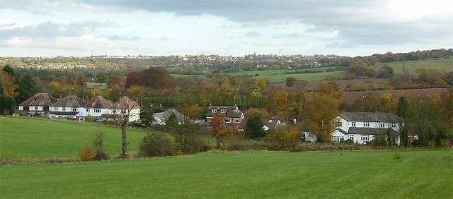
Image: © Roger D Kidd Taken: 6 Nov 2010
The line of houses is on the A449 Stourbridge Road (left to Wolverhampton and right to Kidderminster, or Stourbridge via the A491). On the skyline is the spire of All Saints Church in Sedgley.
Images are licensed for reuse under creativecommons.org/licenses/by-sa/2.0
Image Location
Latitude
52.544352
Longitude
-2.175577