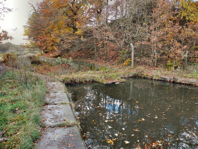
Manchester, Bolton & Bury Canal, Dam
Introduction
The photograph on this page of Manchester, Bolton & Bury Canal, Dam by David Dixon as part of the Geograph project.
The Geograph project started in 2005 with the aim of publishing, organising and preserving representative images for every square kilometre of Great Britain, Ireland and the Isle of Man.
There are currently over 7.5m images from over 14,400 individuals and you can help contribute to the project by visiting https://www.geograph.org.uk

Image: © David Dixon Taken: 7 Nov 2010
To the west of here, the canal suffered a disastrous breach (on 6th July 1936). Water pressure carried away 20 yards of towpath and canal wall, depositing them in the valley below, thus emptying the canal. Because there was no through traffic, the breach was not repaired. This brick dam was built to permit the canal from Ladyshore to Bury to continue in use (which it did until the 1950s, finally being officially closed in 1961).

