Ladyshore House
Introduction
The photograph on this page of Ladyshore House by David Dixon as part of the Geograph project.
The Geograph project started in 2005 with the aim of publishing, organising and preserving representative images for every square kilometre of Great Britain, Ireland and the Isle of Man.

There are currently over 7.5m images from over 14,400 individuals and you can help contribute to the project by visiting https://www.geograph.org.uk
Ladyshore House
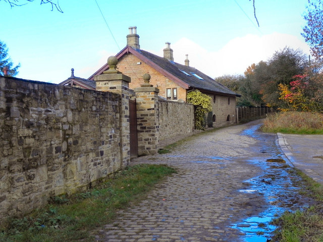
Image: © David Dixon Taken: 7 Nov 2010
Ladyshore Colliery, which closed in 1949, straddled both sides of the canal. All that remains now are the colliery offices (now a house) and the stables, at the end of Ladyshore Road. Dated 1833, it is a grade II listed building (Historic England List Entry Number: 1309425 https://historicengland.org.uk/listing/the-list/list-entry/1309425 )
Images are licensed for reuse under creativecommons.org/licenses/by-sa/2.0
Image Location
Latitude
53.556968
Longitude
-2.359157