Towards Kingston Blount
Introduction
The photograph on this page of Towards Kingston Blount by Graham Horn as part of the Geograph project.
The Geograph project started in 2005 with the aim of publishing, organising and preserving representative images for every square kilometre of Great Britain, Ireland and the Isle of Man.

There are currently over 7.5m images from over 14,400 individuals and you can help contribute to the project by visiting https://www.geograph.org.uk
Towards Kingston Blount
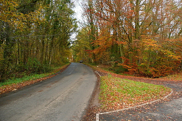
Image: © Graham Horn Taken: 7 Nov 2010
This lane is well used by traffic from the B4009 making a diversion to avoid Watlington. Down Kingston Hill, just beyond that car, and you drop off the edge of the Chiltern scarp to Kingston Blount.
Images are licensed for reuse under creativecommons.org/licenses/by-sa/2.0
Image Location
Latitude
51.669532
Longitude
-0.922678