Hazel Brook, Bristol
Introduction
The photograph on this page of Hazel Brook, Bristol by Jaggery as part of the Geograph project.
The Geograph project started in 2005 with the aim of publishing, organising and preserving representative images for every square kilometre of Great Britain, Ireland and the Isle of Man.

There are currently over 7.5m images from over 14,400 individuals and you can help contribute to the project by visiting https://www.geograph.org.uk
Hazel Brook, Bristol
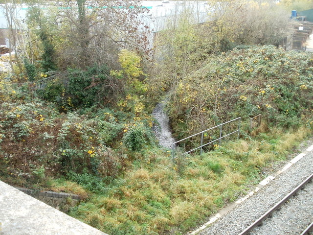
Image: © Jaggery Taken: 6 Nov 2010
Viewed from Wyck Beck Road railway bridge. Hazel Brook is a tributary of the River Trym, which it enters at Coombe Dingle after dropping through a steep limestone gorge in the Blaise Castle estate.
Images are licensed for reuse under creativecommons.org/licenses/by-sa/2.0
Image Location
Latitude
51.514577
Longitude
-2.621058