Derelict land at Blakenhall, Wolverhampton
Introduction
The photograph on this page of Derelict land at Blakenhall, Wolverhampton by Roger D Kidd as part of the Geograph project.
The Geograph project started in 2005 with the aim of publishing, organising and preserving representative images for every square kilometre of Great Britain, Ireland and the Isle of Man.

There are currently over 7.5m images from over 14,400 individuals and you can help contribute to the project by visiting https://www.geograph.org.uk
Derelict land at Blakenhall, Wolverhampton
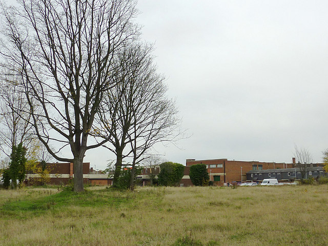
Image: © Roger D Kidd Taken: 5 Nov 2010
Looking across part of the Blakenhall Gardens regeneration area. The buildings on the right are in Chapel Street, while those straight ahead are in the much newer Blakenhall Gardens shopping precinct by the Dudley Road. The Asian supermarkets there are particularly recommendable, but don't expect Waitrose style spaciousness or spick and span-ness. The trading culture is quite different. The last of six tower blocks at Phoenix Rise nearby is being gradually demolished, and the whole area is to be rebuilt with two and three storey family housing. According to the plans, appropriately sized trees will be planted in the new roadways, and existing mature trees will be retained wherever possible.
Images are licensed for reuse under creativecommons.org/licenses/by-sa/2.0
Image Location
Latitude
52.571474
Longitude
-2.126847