Bond Lane heads north
Introduction
The photograph on this page of Bond Lane heads north by Robin Stott as part of the Geograph project.
The Geograph project started in 2005 with the aim of publishing, organising and preserving representative images for every square kilometre of Great Britain, Ireland and the Isle of Man.

There are currently over 7.5m images from over 14,400 individuals and you can help contribute to the project by visiting https://www.geograph.org.uk
Bond Lane heads north
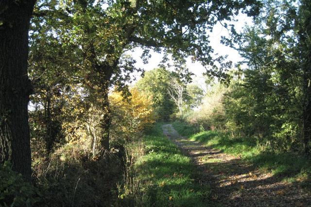
Image: © Robin Stott Taken: 27 Oct 2010
The field maple (Acer campestre), centre, was one of many seen that had turned this amazing, almost grapefruit yellow. Bond Lane is an old drove road, an unclassified county road and a bridleway.
Images are licensed for reuse under creativecommons.org/licenses/by-sa/2.0
Image Location
Latitude
51.606597
Longitude
-2.560221