A10 Kingsmead Viaduct (2)
Introduction
The photograph on this page of A10 Kingsmead Viaduct (2) by Nigel Cox as part of the Geograph project.
The Geograph project started in 2005 with the aim of publishing, organising and preserving representative images for every square kilometre of Great Britain, Ireland and the Isle of Man.

There are currently over 7.5m images from over 14,400 individuals and you can help contribute to the project by visiting https://www.geograph.org.uk
A10 Kingsmead Viaduct (2)
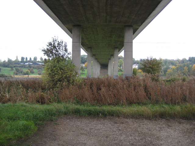
Image: © Nigel Cox Taken: 29 Oct 2010
This 19 span 2¼ mile long viaduct, variously known as the Kingsmead, King's Meads or Ware Viaduct, was opened in 1976 at a cost of £3.6 million, and carries the A10 over the valley of the River Lee. It is said to be 65 feet high above the ground at its highest point. This is the view looking southwards from The New River. For a view in the opposite direction please see Image
Images are licensed for reuse under creativecommons.org/licenses/by-sa/2.0
Image Location
Latitude
51.804917
Longitude
-0.048032