Grahams manhole cover, Lisburn (2)
Introduction
The photograph on this page of Grahams manhole cover, Lisburn (2) by Albert Bridge as part of the Geograph project.
The Geograph project started in 2005 with the aim of publishing, organising and preserving representative images for every square kilometre of Great Britain, Ireland and the Isle of Man.

There are currently over 7.5m images from over 14,400 individuals and you can help contribute to the project by visiting https://www.geograph.org.uk
Grahams manhole cover, Lisburn (2)
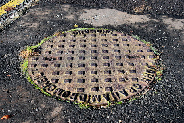
Image: © Albert Bridge Taken: 8 Nov 2010
See Image One of four on the Ravarnet Road close to the M1 flyover Image To the best of my knowledge, Grahams built the M1 between Belfast and Sprucefield almost 50 years ago.
Images are licensed for reuse under creativecommons.org/licenses/by-sa/2.0
Image Location
Latitude
54.495514
Longitude
-6.05408