Thornwood Common: Former Teazle Mead army camp
Introduction
The photograph on this page of Thornwood Common: Former Teazle Mead army camp by Nigel Cox as part of the Geograph project.
The Geograph project started in 2005 with the aim of publishing, organising and preserving representative images for every square kilometre of Great Britain, Ireland and the Isle of Man.

There are currently over 7.5m images from over 14,400 individuals and you can help contribute to the project by visiting https://www.geograph.org.uk
Thornwood Common: Former Teazle Mead army camp
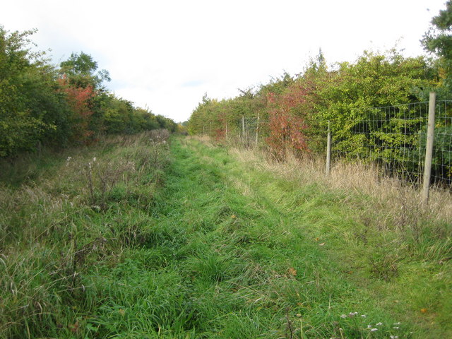
Image: © Nigel Cox Taken: 27 Oct 2010
Victorian Ordnance Survey maps show a footpath running across the field here. However during the Second World War the army took over the field and established a camp called Teazle Mead. After the end of the war it was used as a piggery but all the buildings have long since been demolished and a glance at the current satellite imagery shows that the site of the camp is now barely discernible. The footpath has now been reinstated within an avenue of bushes, more or less along its former route. Alas the current 1:50,000 scale Ordnance Survey map is wildly out of date and inaccurate, showing, as it does, the long lost army camp and the footpath a long way from its true location. The co-ordinates of the subject and photographer locations here have been taken from the "Where's the Path?" website.
Images are licensed for reuse under creativecommons.org/licenses/by-sa/2.0
Image Location
Latitude
51.720928
Longitude
0.123103