Dual use path between trees, Newton Road
Introduction
The photograph on this page of Dual use path between trees, Newton Road by Derek Harper as part of the Geograph project.
The Geograph project started in 2005 with the aim of publishing, organising and preserving representative images for every square kilometre of Great Britain, Ireland and the Isle of Man.

There are currently over 7.5m images from over 14,400 individuals and you can help contribute to the project by visiting https://www.geograph.org.uk
Dual use path between trees, Newton Road
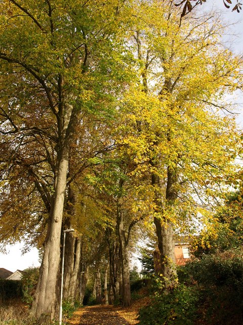
Image: © Derek Harper Taken: 2 Nov 2010
The path referred to in Image, linking Newton Road to Riviera Way across Brown's Bridge, which crosses the railway line. So was this the original Brown's Bridge Road?.
Images are licensed for reuse under creativecommons.org/licenses/by-sa/2.0
Image Location


Leaflet Map data © OpenStreetMap
Latitude
50.486089
Longitude
-3.556846