Road closure, Kirkcambeck Bridge
Introduction
The photograph on this page of Road closure, Kirkcambeck Bridge by Oliver Dixon as part of the Geograph project.
The Geograph project started in 2005 with the aim of publishing, organising and preserving representative images for every square kilometre of Great Britain, Ireland and the Isle of Man.

There are currently over 7.5m images from over 14,400 individuals and you can help contribute to the project by visiting https://www.geograph.org.uk
Road closure, Kirkcambeck Bridge
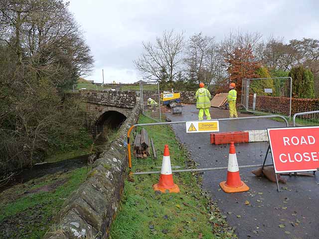
Image: © Oliver Dixon Taken: 3 Nov 2010
This bridge on the B6318 over the Cam Beck was closed for 18 weeks for major repairs at the time of my visit. No provision had been made for pedestrians and cyclists to cross the stream here, although some of the houses in Kirkcambeck village lie on the south side of the bridge. The shortest way round by road is nearly 20 km; the official signed diversion was a great deal further.
Images are licensed for reuse under creativecommons.org/licenses/by-sa/2.0
Image Location
Latitude
55.012114
Longitude
-2.727719