Religious Buildings on the A2 London Road
Introduction
The photograph on this page of Religious Buildings on the A2 London Road by David Anstiss as part of the Geograph project.
The Geograph project started in 2005 with the aim of publishing, organising and preserving representative images for every square kilometre of Great Britain, Ireland and the Isle of Man.

There are currently over 7.5m images from over 14,400 individuals and you can help contribute to the project by visiting https://www.geograph.org.uk
Religious Buildings on the A2 London Road
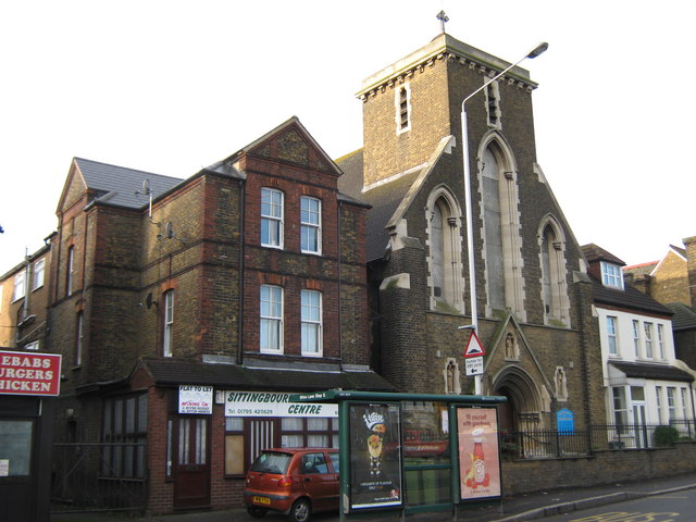
Image: © David Anstiss Taken: 6 Nov 2010
Sittingbourne Islamic Cultral Centre is beside the Church of the Sacred Heart of Jesus. See http://www.sacredheartrcchurch.org.uk/ for more details about the church
Images are licensed for reuse under creativecommons.org/licenses/by-sa/2.0
Image Location
Latitude
51.340924
Longitude
0.729251