Forestry road at Pennington Rake, Hamsterley Forest
Introduction
The photograph on this page of Forestry road at Pennington Rake, Hamsterley Forest by Trevor Littlewood as part of the Geograph project.
The Geograph project started in 2005 with the aim of publishing, organising and preserving representative images for every square kilometre of Great Britain, Ireland and the Isle of Man.

There are currently over 7.5m images from over 14,400 individuals and you can help contribute to the project by visiting https://www.geograph.org.uk
Forestry road at Pennington Rake, Hamsterley Forest
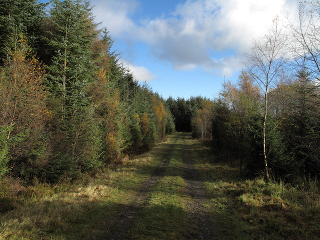
Image: © Trevor Littlewood Taken: 7 Nov 2010
North of the rectangular enclosures near to Pennington Cottage this mainly grassy forestry road lies just within plantations at a location named on OS Explorer OL31 as Pennington Rake. Rake is a word associated generally with old lead mining features.
Images are licensed for reuse under creativecommons.org/licenses/by-sa/2.0
Image Location


Leaflet Map data © OpenStreetMap
Latitude
54.647625
Longitude
-1.928063